 |
Haverford Heritage Trail |
Directions from Previous Site: From bottom of Parkview Drive, proceed down the curved end of Darby Creek Road, under and past the Marple Road bridge, then turn right at a grassy clearing down to the creek. NOTE: The trail south along this portion of Darby Creek is unimproved and presently has no outlet at the other end, nearing West Chester Pike. You can use the trail, but then must turn around and come back.
Physical Address: Between Haverford and Marple Townships
GPS Coordinates: 39.98908, -75.34287
Parking: No
Ownership: Varies
Arcadia Book Page: No
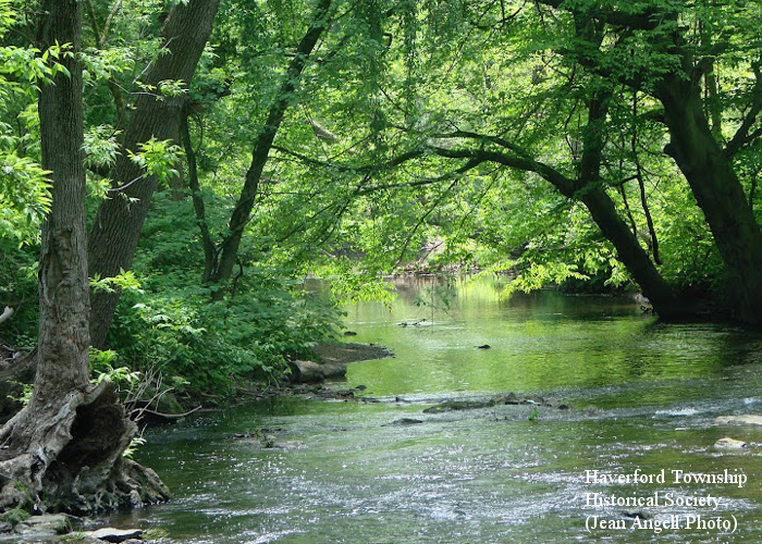
Description and History: Like Cobbs Creek, Darby Creek was a vital resource to the first settlers in Haverford Township. In fact, the large plots of land in the township were originally laid out so that almost every one of them had access to one creek or the other, providing water and potential mill power. Today, with just a few exceptions, the land along the east bank of Darby Creek is preserved under township ownership as Darby Creek Valley Park, a greenway and stream buffer. The steep hills bordering this narrow creek valley and its proclivity to flood periodically have protected it from the near-total suburban development around it. The “Blue Route” Mid-County Expressway generally occupies the other side of the creek valley in Marple.
|
|
|
|